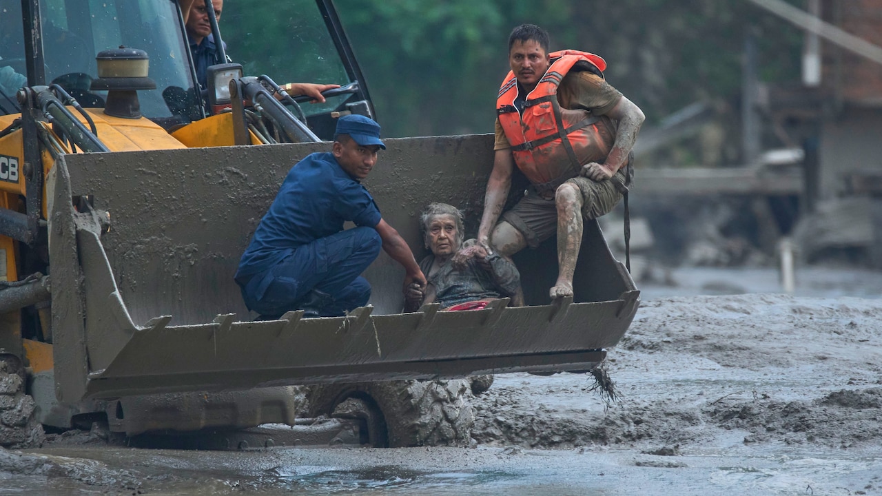
When a massive rock-ice avalanche and subsequent floods tear through northern Nepal, destroying vital hydropower stations and leaving hundreds missing, the world watches in shock. But for anyone who understands the local geography, it is a disaster long in the making. Nepal is caught in a violent geological vice. It is a place where tectonic collision, fragile terrain, and a rapidly warming climate combine to create one of the most volatile environments on Earth.
If you want to understand why Nepal experiences such relentless natural calamities, you have to look right beneath your feet and high up into the melting peaks.
The Tectonic Engine That Never Stops Moving
Nepal sits squarely along the collision zone of two massive tectonic entities: the Indian plate and the Eurasian plate. The Indian plate keeps pushing northward, driving underneath Eurasia at a steady clip of roughly five centimeters every year.
This relentless underthrusting builds unimaginable geological stress. When that locked pressure finally gives way, the results are catastrophic, as the world witnessed during the devastating Kathmandu Valley earthquakes.
Mountain building is an active, violent process here. The peaks rise by more than a centimeter annually, but that upward growth comes at a steep price. The rock is fractured, unstable, and constantly primed to slide.
When a major tremor hits, it doesn't just shake buildings. It shatters entire mountainsides, setting off secondary hazards like massive landslides and blocked river channels that threaten valleys far below.
The Hidden Threat of a Warming Himalaya
Tectonics tell only half the story. High above the settlements, climate change is rewriting the rules of survival. The Himalayan range, often called the Third Pole, holds thousands of glaciers. As atmospheric temperatures rise, these glaciers are retreating at an alarming pace. Ice loss across the Hindu Kush Himalaya region has doubled since the turn of the century.
This rapid melting creates dangerous high-altitude pools held back by loose walls of rock and debris known as moraines. These natural dams are notoriously fragile. When an avalanche crashes into them or internal water pressure builds too high, the barrier fails.
The result is a glacial lake outburst flood, or GLOF. These events send millions of cubic meters of water and mud barrelling down narrow mountain gorges with almost zero warning, wiping out bridges, villages, and critical energy infrastructure in minutes. Recent megafloods along border regions underscore just how fast a high-altitude collapse can translate into downstream devastation.
Why Infrastructure and Communities Remain Exposed
Natural hazards become humanitarian disasters only when human lives and infrastructure stand directly in their path. In Nepal, extreme geography forces roads, hydro projects, and settlements into narrow river corridors and steep valleys.
When flash floods or landslides occur, transport routes are severed instantly. Rescue operations grind to a crawl because the very terrain that makes the region beautiful also makes it nearly impossible to access during a crisis.
Furthermore, rapid economic growth and energy demands mean more hydropower plants are built right inside high-risk river basins. When a single flood knocks out hundreds of megawatts of generating capacity—slicing deeply into the national power supply—the economic shockwaves ripple across the entire country.
What Needs to Change Now
Mitigating these risks requires moving away from reactive emergency response and shifting toward aggressive, landscape-scale preparedness.
- Upgrade Early Warning Systems: Communities downstream from unstable glacial lakes and fragile river basins need real-time sensor networks that can trigger automatic evacuation alarms.
- Rethink Infrastructure Siting: Engineers must stop building major roads and hydropower stations in narrow, high-hazard gorges without factoring in cascading multi-hazard risks.
- Strengthen Transboundary Data Sharing: Because many dangerous watersheds originate across borders in the Tibet Autonomous Region, real-time meteorological and hydrological data sharing between nations is non-negotiable.
Nepal's mountains will keep moving, and the climate will continue to warm. Survival depends entirely on how quickly local authorities and international partners adapt to a landscape that refuses to stay still.