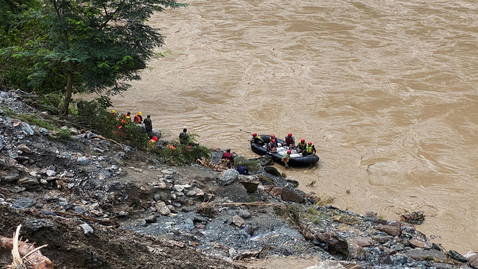
When a chunk of mountain falls at nearly 200 kilometers per hour, traditional warning networks don't stand a chance. On August 26, 2026, the north face of Langtang Lirung collapsed, sending millions of cubic meters of ice, rock, and mud plunging down toward the China-Nepal border. The resulting catastrophe wiped out downstream monitoring stations before they could transmit life-saving alerts. Now, Nepali authorities are moving with intense urgency to rebuild and upgrade their frontier early warning infrastructure.
If you look closely at how Himalayan disasters unfold, you realize that building better walls isn't enough. You need eyes and ears that survive the initial shockwave.
Why the Previous Warning Network Failed
Most existing warning systems in the high Himalayas were designed to catch traditional monsoon floods or gradual glacial lake outburst floods. They relied on water-level sensors placed in river channels. But the Langtang disaster was a massive rock-ice avalanche that triggered a magnitude 5.2 equivalent seismic shock and unleashed a ferocious debris flow.
At Timure in the Rasuwa district, the sensors did not fail because of poor maintenance—they were simply pulverized. The wall of water and debris moved so fast that upstream stations went dark minutes after the initial impact, leaving communities down the Trishuli River with a frantic, narrow window to react. A public alert went out at 9:13 a.m., nearly half an hour after the deluge crossed the border, resulting in a devastating loss of life and thousands missing.
When you lose communication lines the exact second a disaster hits, you are flying blind. That single vulnerability is what policymakers are desperate to fix.
The Engineering Pivot at the Border
Nepal's National Disaster Risk Reduction and Management Authority (NDRRMA) is currently pushing forward with a complete overhaul of the border surveillance setup. Government sources confirm that crews are installing ruggedized seismic sensors, specialized cameras, and satellite links at vulnerable frontier bottlenecks like Timure.
The centerpiece of this new deployment is the integration of Very Small Aperture Terminal (VSAT) satellite technology. Traditional cellular networks in mountain gorges collapse instantly when debris strikes. By anchoring data transmission to satellite links, these new monitoring posts can keep broadcasting real-time river discharge rates even if local towers get swept away.
Furthermore, geologists and engineers are looking beyond simple water gauges. They are incorporating acoustic flow monitors and high-resolution optical cameras to spot slope instability and sudden river surges upstream before they aggregate into catastrophic avalanches.
What This Means for Cross-Border Resilience
Geographic isolation means that Nepal and China must share hydrological data instantly to protect mountain communities. While Beijing and Kathmandu have shared basic satellite imagery and weather data since the disaster, building a synchronized, real-time early warning grid requires absolute transparency.
The terrain along the Tibet border remains heavily stressed. As permafrost continues to thaw across the Himalayas, mountains that stood stable for centuries are shifting. Local authorities can no longer rely on reactive measures. They are forced to build redundancy into every single sensor node.
If you are tracking infrastructure development or disaster management in high-risk mountain zones, the lesson is clear. Redundancy beats perfection every time.
Take concrete steps if you operate or travel in high-altitude river basins:
- Never assume a warning system will give you hours of prep time; in flash events, your window is measured in minutes.
- Map out elevated evacuation routes well away from narrow river canyons like the Trishuli corridor.
- Support local disaster preparedness drills that emphasize immediate vertical evacuation over horizontal flight.
The mountains are changing faster than our maps can keep up. Rebuilding the border warning grid is a vital first step, but staying alive requires treating every upstream valley as an active zone.
How Nepal is Building the Impossible Shields that Will ...
This video explores the advanced engineering techniques and high-altitude construction efforts underway to protect vulnerable river basins from glacial flash floods.
http://googleusercontent.com/youtube_content/1


