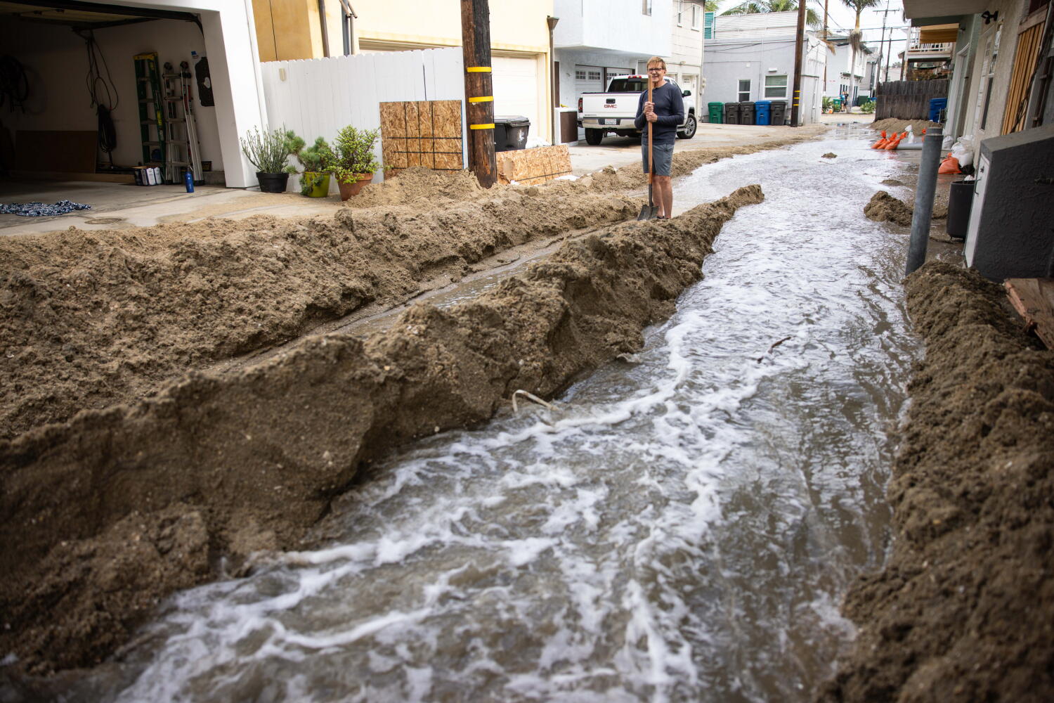
If you live in Los Angeles or Ventura County, you probably breathed a massive sigh of relief when the clouds rolled in and the first cold storm of the rainy season dropped water across the region. After brutal weeks featuring aggressive Santa Ana winds, scorched hillsides in Malibu and Azusa, and emergency power shutoffs affecting tens of thousands of residents, moisture feels like salvation.
Don't unpack your heavy winter coats and assume Southern California fire season is finished. Weather in this part of the world rarely follows a clean script.
When a fall storm hits, the immediate threat drops. Humidity spikes, temperatures fall into the upper 60s and low 70s, and firefighters finally get a brief window to corral stubborn brush fires. But anyone who has spent more than a single year in Southern California knows the trap. One damp week does not cancel out months of cumulative drought stress, parched chaparral, and the persistent threat of offshore wind events.
The False Sense of Security
The biggest mistake people make is looking at wet pavement and assuming the danger has evaporated. It hasn't.
Chaparral and native brush absorb moisture slowly. While a heavy drenching or localized totals reaching up to 3 inches in the Santa Monica and Santa Ynez mountains will dampen surface fuels, deep-seated dryness in larger woody debris remains. That moisture takes sustained, repeated soaking over weeks to reverse.
Think of it like a thick log left out in the summer sun. You can pour a bucket of water over it, and the bark looks wet. Inside, it's bone dry. The moment a dry, howling offshore wind event kicks up for 48 hours, that surface moisture vanishes, and the underlying fuel load is just as volatile as it was before the storm.
What Actually Happens Next
When rain hits fresh burn scars, a brand-new set of hazards instantly takes over. Fire gives way to mud.
Steep terrain stripped of vegetation by recent blazes has zero root structure to hold the dirt together. When precipitation arrives too fast, the ground can't absorb it all at once. That leads directly to flash floods, debris flows, and road closures along critical corridors like the Pacific Coast Highway. Meteorologists track these shifts closely because the transition from a red flag warning to a flash flood watch can happen in less than twenty-40 hours.
You trade one emergency for another.
Why Fire Season Is Stretching Longer
Historically, California had distinct seasons. You had summer heat, fall winds, winter rain, and spring bloom. Those boundaries are gone.
Higher baseline temperatures and shifting weather patterns mean the window between dry heat and wet storms blurs. October and November used to mark the terrifying peak of the Santa Ana wind cycle, where hot, compressed air rushing from the Great Basin turned stray sparks into runaway walls of flame. When a cold storm breaks that heat, it provides temporary relief, but it also primes the vegetation cycle for erratic behavior later in the winter if the rains stop abruptly.
If you're living in the foothills or canyon communities, you shouldn't let your guard down just because the National Service issued a rain advisory instead of a red flag warning. Clear your gutters, keep your go-bag packed, and watch local drainage channels just as carefully as you watched the ridgelines last week.
The weather is changing fast. Stay alert.