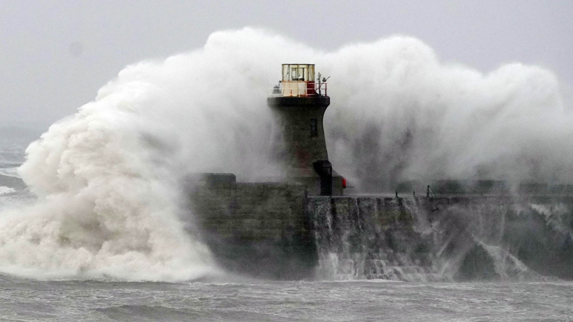
Winter weather isn't easing up, and the Met Office just proved it by dropping two storm names back-to-back. If you thought dealing with one severe weather front was enough, get ready for a double punch.
The Met Office confirmed Storm Boelo is barreling toward the UK just hours after naming Storm Austen. We are looking at consecutive weekends of severe weather chaos. Northern Ireland, Scotland, and northern England are right in the firing line for Boelo this Saturday, while Austen brings amber and yellow wind warnings across parts of the south and west like Cornwall and Devon.
If you live in these regions, you don't have time to wait and see. Here is what is actually happening and how you should prepare before the winds peak.
The Double Blow of Austen and Boelo
The speed of these consecutive announcements caught many people off guard. Storm Austen was named on October 20, 2026, targeting Friday with heavy rain and strong gusts. Barely 24 hours later, the Met Office pulled the trigger on Storm Boelo for Saturday.
This rapid-fire naming strategy tells you everything you need to know about the current atmospheric setup. Low-pressure systems are lining up over the Atlantic like freight trains. When you get storms tracking this closely together, the ground becomes saturated very quickly. Once soil is waterlogged, even moderate gusts become enough to uproot mature trees and bring down power lines.
Forecasters expect winds to touch up to 75mph to 80mph in exposed coastal and high-altitude spots. That is proper structural-damage territory. If your fence panels are already wobbling from last season, they aren't surviving this weekend.
Who Gets Hit Hardest
Geography dictates your risk level here. Austen is packing a punch for parts of the south, with amber warnings covering regions like the Isles of Scilly and west Devon. Travel disruption on Friday is virtually guaranteed across rail and road networks.
Then comes Boelo on Saturday. The focus shifts aggressively north.
- Scotland: Ayrshire, the Highlands, and central belts are bracing for severe gusts.
- Northern Ireland: Coastal routes and exposed areas will catch the brunt of the early Saturday surge.
- Northern England: High ground across Cumbria and Northumberland will see heavy downpours coupled with gale-force winds.
Yellow wind warnings span vast areas starting Saturday evening, running for over 24 hours. Commuters, weekend travelers, and anyone planning outdoor events need to scrap those plans right now.
Practical Steps to Protect Your Property
Most people wait until the howling starts before checking their property. That is a massive mistake. By the time roof tiles start rattling, working outside becomes dangerous.
Go outside today and secure loose garden furniture, trampolines, and potted plants. A trampoline flying across a lawn is a classic cliché, but it is also an expensive missile that can smash through your neighbor's greenhouse. Bring everything indoors or tie it down properly with heavy-duty anchors.
Check your gutters and drainage channels. Consecutive storms bring torrential rain alongside wind. If your downspouts are blocked with autumn leaves, water will back up under your roof tiles faster than you think. Clearing a gutter takes ten minutes now, saving you thousands in water damage later.
Charge your power banks. When wind speeds cross 70mph overhead, local power outages happen. Keep torches handy and make sure your devices are fully juiced before Saturday night.
Stay off coastal paths and exposed headlands. Watching big waves crash might look thrilling on camera, but slip-ups happen in seconds, and emergency services don't need extra casualties when they are already stretched thin handling fallen trees and blocked roads. Check local travel updates before leaving your house, and honestly, just stay indoors if you don't have to travel.