When a rogue low-pressure system churns up the Eastern Seaboard, travel plans dissolve fast. That's exactly what happened when a powerful subtropical storm forced maritime regions into defensive mode and rerouted thousands of vacationers away from tropical waters straight into Halifax.
If you thought coastal weather alerts were just background noise, this storm proved otherwise. Environment Canada flagged heavy rainfall warnings for northern and eastern Nova Scotia, predicting up to 70 millimetres of rain. Meanwhile, the south coast of Newfoundland braced for brutal wind gusts hitting 100 kilometres per hour.
When 5,000 Passengers End Up in Nova Scotia Instead of the Bahamas
Picture this. You pack your swimwear, sunscreen, and flip-flops, ready for a sun-soaked week in the Bahamas and Florida. Instead, you wake up docking in chilly Halifax, Nova Scotia, surrounded by grey skies and churning grey water.
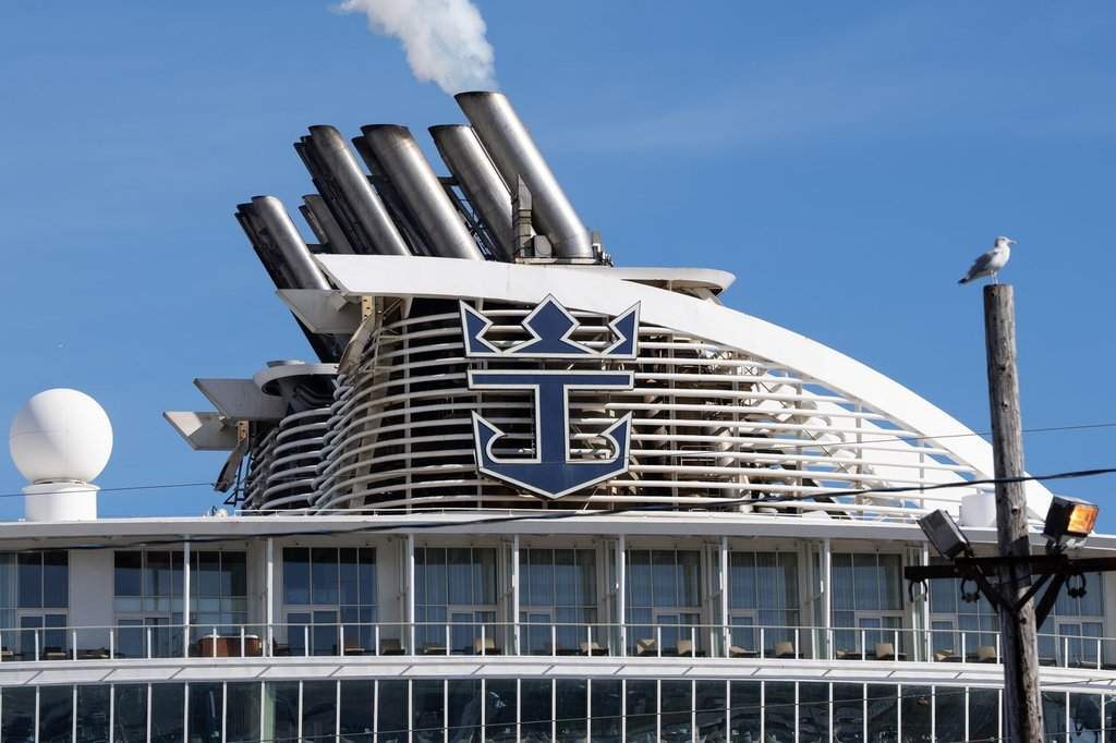
That was the reality for roughly 5,000 passengers aboard the Royal Caribbean Oasis of the Seas. The mega-ship departed Cape Liberty, New Jersey, on a Sunday. By Tuesday night and Wednesday, unsafe ocean conditions from the developing weather system forced the captain to completely scrap the tropical itinerary.
Cruise lines don't make these massive pivots lightly. Shifting a floating resort holding thousands of people requires massive coordination with port authorities, fuel suppliers, and local services. Halifax port operators had to scramble to accommodate an unscheduled goliath of a ship on short notice. Passengers traded palm trees for local seafood joints, turning an unexpected maritime detour into an impromptu Canadian east coast adventure.
Understanding the Meteorological Threat
What makes these late-season subtropical systems so disruptive? They pack a weird hybrid punch. They aren't purely tropical cyclones with warm cores, nor are they typical winter nor'easters, but they borrow the worst traits of both.
When these systems track northeast off the U.S. coast, they tap into contrasting air masses. The result is a wide swath of torrential downpours and fierce coastal gales.
Here is what meteorologists tracked on the ground:
- Rainfall totals hitting 50 to 70 millimetres across parts of Nova Scotia, raising local flood concerns in low-lying zones.
- Sustained high winds tearing along coastal corridors in Newfoundland, reaching gusts of 100 kilometres per hour.
- Rough seas disrupting marine traffic, ferry schedules, and commercial shipping lanes well beyond the immediate storm track.
The Ripple Effect on Regional Infrastructure
A storm of this scale tests local readiness. Flash flooding in urban centers can stall traffic and swamp basements before municipal pumps catch up. High winds snap tree branches, knock out power grids, and leave thousands of residents in the dark.
Utility crews in Atlantic Canada live for these moments of high anxiety. Power companies pre-position repair crews days in advance when forecasters spot a brewing system. Yet, high gusts near coastal cliffs and exposed headlands always manage to test the limits of local infrastructure.
For travelers, the lesson is straightforward. Shoulder-season trips along the Atlantic corridor demand flexibility. Weather patterns shift overnight, and cruise lines or airlines will prioritize vessel safety and passenger well-being over scheduled beach days every single time.
Keep an eye on regional weather advisories if you're hitting the road or coastal highways. Pack an emergency kit, secure loose outdoor furniture, and expect schedule changes when the Atlantic decides to flex its muscles.