Geopolitical espionage rarely makes for clean headlines, but Donald Trump's recent reaction to a major intelligence leak stripped away the usual diplomatic fluff. When reports surfaced that commercial or state-linked Chinese entities provided Iran with satellite imagery ahead of a deadly July attack on the Muwaffaq Salti Air Base in Jordan, most pundits expected a fiery retaliation. Instead, Trump shrugged it off with a blunt reality check. He noted that Beijing does what Washington does.
The underlying controversy traces back to a Wall Street Journal report detailing how Iran allegedly acquired high-resolution satellite data from Chinese sources before and after the July 17 missile strike that killed three American service members and wounded four others. While US officials pointed fingers at commercial entities, they stopped short of accusing Beijing's central government of directly ordering or coordinating the attack. China firmly denied the claims, asking Washington for proof while labeling the accusations as malicious smearing. For a deeper dive into similar topics, we suggest: this related article.
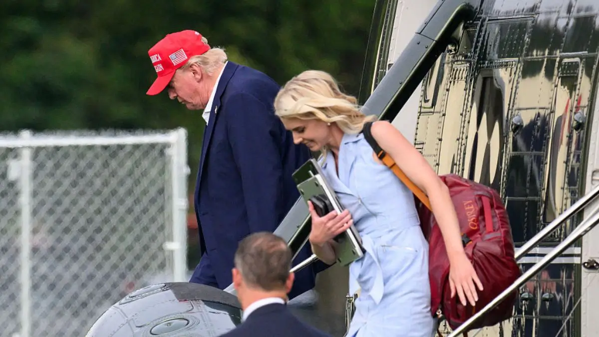
Facing reporters aboard Air Force One while returning from Ireland, Trump didn't take the bait. When pressed about whether China was stepping out of bounds by handing over critical targeting angles to an adversary, he offered a stark assessment. "They basically do what we do," Trump remarked. "You know what they say? That China spies on us. I say you're right, and we spy on them, too."
This pragmatic stance reveals a calculated approach to foreign policy, especially with a high-stakes bilateral meeting against Chinese President Xi Jinping on the horizon. Rather than allowing an intelligence dispute to torpedo diplomatic engagement or derail trade talks, the administration chose damage control and prioritization. Trump praised Xi's recent posture, stating that Beijing has behaved reasonably well. For broader details on this development, in-depth reporting is available at USA.gov.
The reality of modern warfare relies heavily on commercial satellite imagery and open-source intelligence. High-resolution imaging is no longer locked exclusively behind superpower statecraft; private commercial firms sell data globally, creating a blurry line between state-sponsored espionage and commercial transactions. When US military bases housing American troops can be mapped from orbit using commercially available tech, attribution becomes a messy game.
Sanctions have already hit several China-based satellite companies accused of propping up Iranian military operations, proving that Washington isn't ignoring the pipeline entirely. But keeping a lid on explosive escalations before a major presidential summit matters more to the White House than picking a public fight over shared espionage practices. Both Washington and Beijing run massive, sophisticated intelligence networks targeting each other every single day. Pretending otherwise is bad politics and worse strategy.
Don't expect the underlying tensions to vanish overnight. As commercial remote-sensing technology advances rapidly, keeping sensitive military movements hidden from prying orbital cameras gets harder by the month.
Focus on securing fixed installations and shifting operational posture instead of expecting adversaries to stop watching. The digital panopticon in the upper atmosphere is here to stay, and every major power knows the rules of the game.
Watch the China Satellite Intel Report Analysis to understand how commercial space imagery alters modern military targeting and diplomatic negotiations.