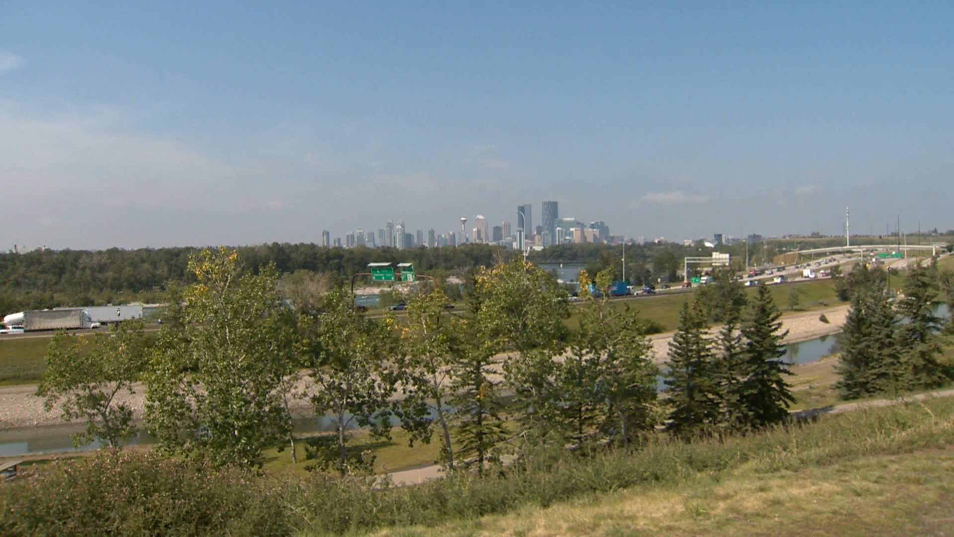
If you live in Calgary, you know the area around the Max Bell Arena. It sits right there, just south of Memorial Drive and west of Barlow Trail. It boasts one of the most incredible, unobstructed views of our downtown skyline. Yet, for years, the actual park space and the surrounding pathways have felt like an afterthought. A neglected, under-utilized patch of grass between a parking lot and a busy commuter train line.
The City of Calgary is now asking for feedback on a redevelopment plan for this area. They want to turn that single acre—about 4,000 square metres—into something people actually want to visit. It’s a move long overdue, but if you’re planning on giving your input, you need to understand what’s actually on the table before the August 27 deadline hits.
What is Actually Changing
The city’s proposal isn't just about planting a few new trees or patching up cracked pavement. It’s a two-fold approach. They want to overhaul the existing pathway network that services the Albert Park and Radisson Heights area while simultaneously transforming that barren land adjacent to the arena parking lot.
The design concepts currently floating around are aggressive. We’re talking about:
- Amphitheatre-style seating: These are tiered steps built directly into the hill, aimed at giving people a place to sit, socialize, or just watch the sun set over the city skyline.
- The Plaza: An open-air space designed for fitness classes, community gatherings, or just general play.
- The Skyline Frame: A proposed overhead structure meant to literally frame the downtown view. It’s a design element intended to make the space "Instagrammable," but more importantly, to give it a focal point for small-scale festivals or community events.
Basically, they are trying to turn a commuter shortcut into a destination.
Why This Matters for the Neighborhood
Anyone who has tried to navigate the pathway network near the Max Bell CTrain stop knows the current frustrations. It’s not just an aesthetic issue; it’s a functionality issue. People have been raising safety concerns for a long time. When an area feels deserted or poorly maintained, it doesn't attract families or recreational users; it attracts, well, nothing good.
By building infrastructure meant for human presence—seating, clear plaza spaces, and better pathway connectivity—the city is betting on "eyes on the street." The idea is that if you build a space that draws the community in for events and exercise, the entire vibe of the corridor shifts.
I’ve spent enough time commuting past this specific stretch to know that it is a high-traffic zone for cyclists and pedestrians, yet it has never felt welcoming. The existing layout treats people like obstacles moving from point A to point B. The goal here is to make people want to pause at point B.
The Reality Check on the Timeline
Construction isn't scheduled to start until 2028. That’s a significant gap. If you’re excited about this, don’t hold your breath for a grand opening next summer. This is a multi-year planning cycle.
The current phase is strictly about design concept selection. The city wants to know which of their ideas sticks and which ones are just fluff. They’ve put out several overhead renderings and artist concepts, which you can find on their official portal.
How to Get Involved
Don't let this be another project where the plans are finalized and the neighbors are left saying, "I wish they had done X instead." The feedback window is tiny. You have until August 27.
- Review the renderings: Go look at the actual plans provided by the city. Don't just rely on headlines. Look at the proposed placement of the amphitheatre seating. Does that location make sense for the prevailing winds or the snow patterns we get in Calgary?
- Focus on utility: The "Skyline Frame" sounds pretty, but does it actually help with wind protection or lighting? If you’re a daily user of those pathways, tell them about the actual pain points—like lighting, blind corners, or surface degradation.
- Submit your thoughts: You don't need to be an urban planner to have an opinion. If you live or work in the area, your daily experience is the data they need.
This space has been sitting there, mostly ignored, for way too long. The downtown view is a massive asset that we’ve been wasting. If they execute this correctly, it could serve as a model for how to reclaim small, forgotten pockets of land near transit hubs. If they mess it up, we get another ten years of a concrete patch that nobody uses. Go look at the site, give your feedback, and make sure they get it right.