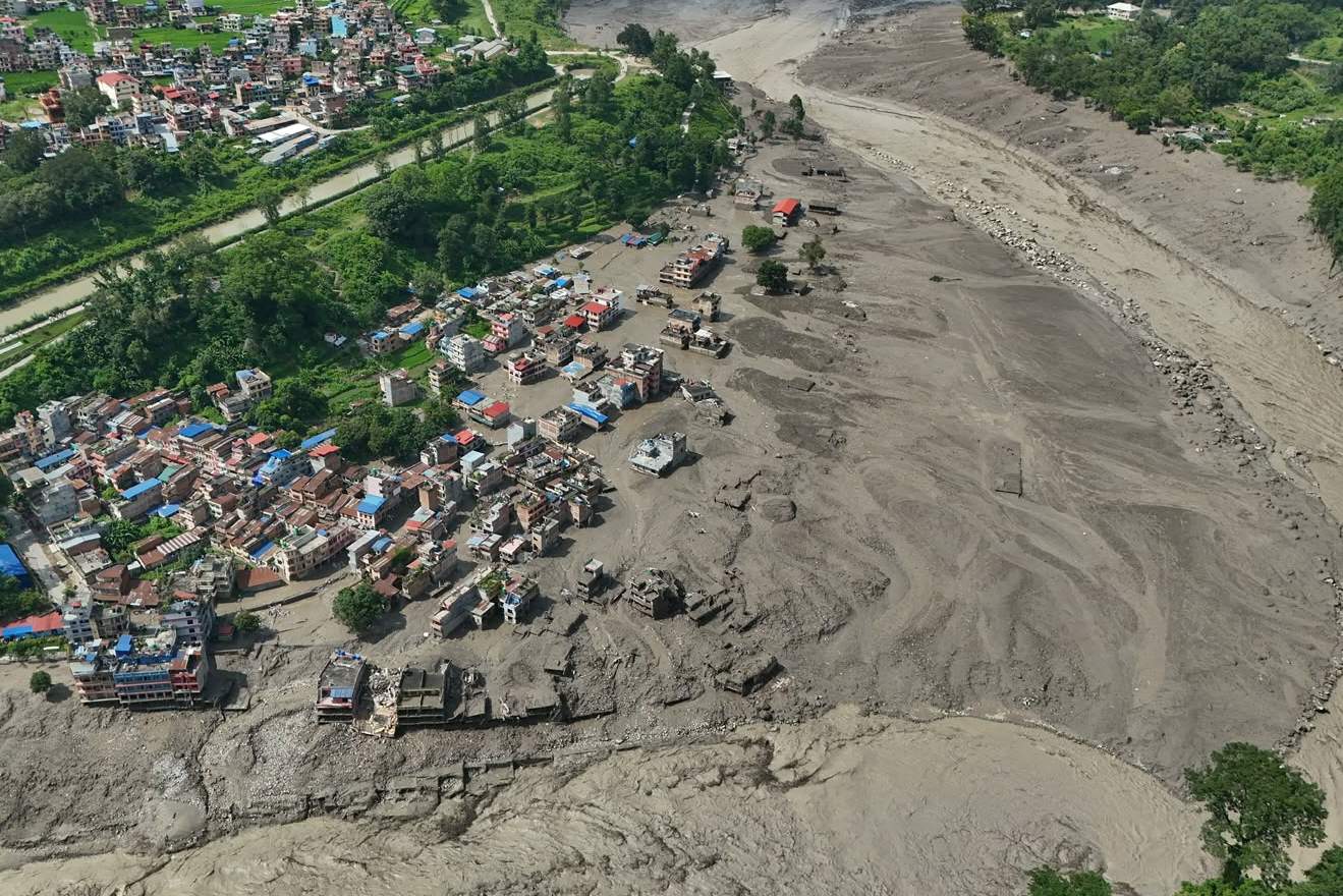
[Image of an active volcano eruption with lava flows and ash plumes]
When the ground starts shaking and ash blocks out the midday sun, emergency alerts mean everything. Guatemala faced that harsh reality yet again when the notorious Fuego volcano roared back to life, forcing hundreds of families to pack up what they could carry and run for safety.
If you think this was just a minor puff of smoke, you haven't been paying attention to Central America's most volatile geological hotspot.
The Reality Behind the Fuego Alert
Disaster management teams didn't wait around for things to get worse. CONRED, Guatemala's disaster response agency, officially tracked evacuations scaling up to 659 people pulled straight out of eight high-risk villages like El Porvenir and Las Lajitas. Ash plumes didn't just drift idly into the atmosphere; they rocketed nearly six kilometers into the sky, turning daylight into an eerie twilight across Sacatepéquez, Chimaltenango, and Escuintla.
People living near these slopes know the drill, but that doesn't make it any less terrifying. Molten rock tore down ravines, National Route 14 got shut down completely due to falling debris, and classrooms emptied out as the Ministry of Education slammed the brakes on local schooling.
Why This Mountain Keeps Terrifying Locals
Fuego stands at 3,763 meters tall, sitting less than 100 kilometers away from Guatemala City and just a stone's throw from the tourist hub of Antigua. It's violent, it's unpredictable, and it rarely gives you a polite warning before blowing its top.
Residents like Lidia Ortiz put it bluntly when talking to reporters at community shelters in San Juan Alotenango: you're always on edge because the mountain moves on its own schedule. Veteran locals remember the absolute devastation of June 2018 when pyroclastic flows wiped entire settlements off the map. That catastrophe left deep scars and proved that government warnings must be treated as absolute law, not mere suggestions.
How Authorities Manage the Chaos
Emergency protocols went into hyperdrive the moment Monday's eruption kicked off. Firefighters mobilized fast, carting hundreds of displaced villagers to local community halls equipped with makeshift bedding.
When a volcano like Fuego enters an aggressive phase, you have to look at the hard data:
- Alert levels jumped rapidly to red zones across multiple departments.
- Pyroclastic density currents spilled dangerously close to regional ravines.
- Over a dozen more communities faced mandatory or preventive removal as conditions worsened by nightfall.
Self-evacuation became the phrase of the day. Officials didn't mince words, urging anyone in the path of hot debris to leave before roads became completely impassable.
What You Should Take Away From This
Natural disasters don't wait for a convenient time to strike. If you're tracking tectonic updates or planning travel through volcanic regions, respect the perimeter. Keep a close eye on INSIVUMEH advisories, monitor local road closures like Route 14, and never ignore an active red alert.
Pack your emergency bags early. Listen to the boots on the ground. When Fuego speaks, you listen.