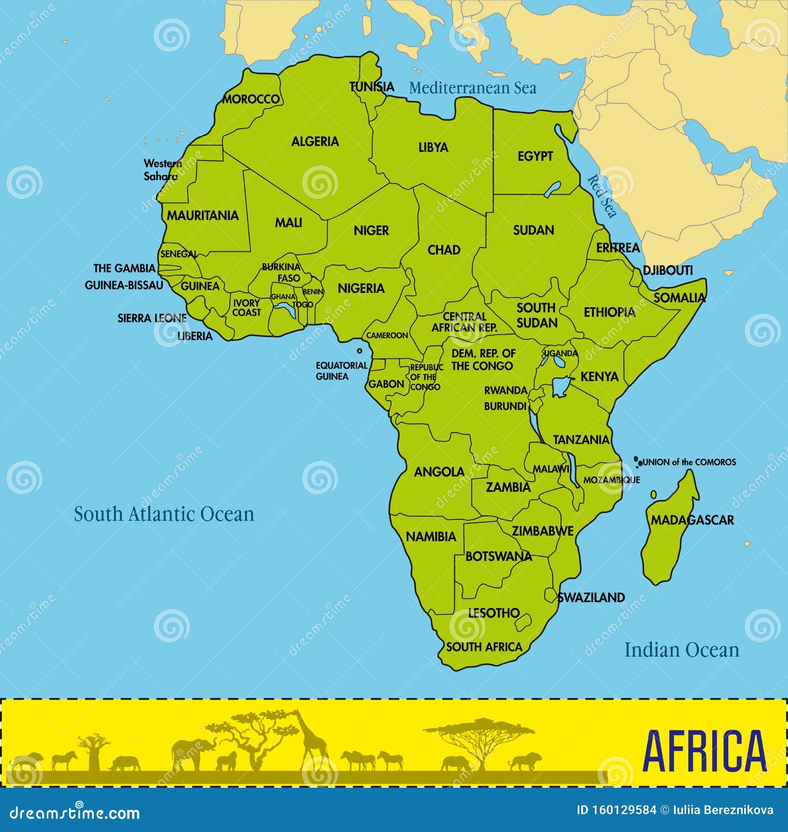
For centuries, geography has lied to you. If you grew up looking at standard classroom world maps, you probably think Greenland is roughly the same size as the entire continent of Africa. It is not. Africa is actually about 14 times larger.
The United Nations General Assembly finally decided to address this geographic illusion. In a vote of 164 to 1, member states adopted a resolution endorsing the Equal Earth projection to replace the ancient Mercator map. Predictably, the decision triggered a massive diplomatic row. Also making headlines in related news: Why Predictable Trade Is Dying And What World Leaders Are Saying About It.
The Core Problem With the Map You Grew Up With
Let's get one thing straight. Flattening a round globe onto a 2D piece of paper is mathematically impossible without stretching something.
Flemish cartographer Gerardus Mercator drew his famous map back in 1569. It was never meant to teach kids geopolitics or show true planetary proportions. It was built for 16th-century sailors trying to navigate ships across oceans without crashing into rocks. Straight lines on a Mercator map preserve compass bearings. Additional information into this topic are explored by NPR.
That utility came at a massive visual cost. As landmasses move further away from the equator and toward the poles, the projection stretches them out massively.
North America, Europe, Russia, and Greenland balloon in visual importance. Meanwhile, regions sitting right along the equator—like Africa and South America—get brutally shrunk.
You end up with a psychological distortion that quietly embeds itself into human perception. Countries near the poles look like global powerhouses, while entire equatorial continents look smaller and less significant than they are.
Why the UN Just Stepped In
Togo led the charge at the UN on behalf of the African Group, pushing the non-binding "Correct the Map" resolution. Togolese Foreign Minister Robert Dussey put it bluntly: maps guide education, shape imagination, and are never truly neutral.
When you pass down a distorted image of the planet generation after generation, you warp how people view the world's peoples and nations.
The newly backed Equal Earth projection, created by cartographers in 2018, fixes this distortion. It keeps the relative surface areas of the continents accurate while maintaining their recognizable shapes.
Countries like France immediately backed the move, with officials noting that correcting a distorted representation is a basic act of truth. Togo plans to completely purge school textbooks of the Mercator map by the end of 2026.
Why the US Voted No and Called Out the UN
Not everyone is popping champagne. The United States stood completely alone as the only nation to vote against the resolution, while six other countries abstained.
Washington did not mince words. U.S. representatives blasted the entire proceeding as a distraction from actual global crises.
The U.S. Mission to the UN argued that the global body should be focusing on international peace, economic stability, and real-world suffering instead of debating 16th-century cartography. Washington officials went further, claiming the resolution ties into broader ideological agendas involving reparations and cognitive justice.
In short, the U.S. view is that spending legislative and diplomatic energy on map projections is an embarrassing waste of time for an institution facing severe credibility challenges.
What Changes Now
Nothing happens overnight. The UN resolution is entirely non-binding. It doesn't outlaw Google Maps, force digital tech giants to update their interfaces tomorrow, or ban cargo ships from using Mercator coordinates for navigation.
Its real power lies in cultural and educational shifts. Publishers, geography teachers, and international organizations now have official backing to throw out a 450-year-old European navigation tool in favor of a scientifically accurate representation of earth.
If you want a more accurate mental model of our planet, start looking past the borders drawn by old maritime charts. The world is a lot bigger down south than you were taught.